
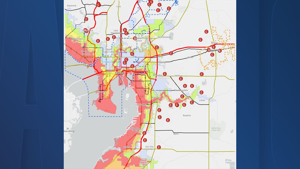

TAMPA, Fla. — Hillsborough County issued a new map Monday with evacuation zones that added nearly 75,000 residents for the first time.
According to the county, the largest change in the map is in East Tampa. The area, bordered by the Hillsborough River to the north, Harney Road to the east, I-4 to the south, and I-275 to the west have all been moved into Zone E from not being in an evacuation zone previously.
On the flip side, 55,000 residents previously in an evacuation zone have been removed for the first time.
Hillsborough County said the evacuation zones have:
- 1,289,604 residents will see no change in their assigned zones
- 107,334 residents were moved to a higher zone
- 62,824 residents were moved to a lower zone
The county said all residents living in mobile homes are included in Evacuation Zone A regardless of the location of their home.
