


Heat advisory from noon until 6 pm today.
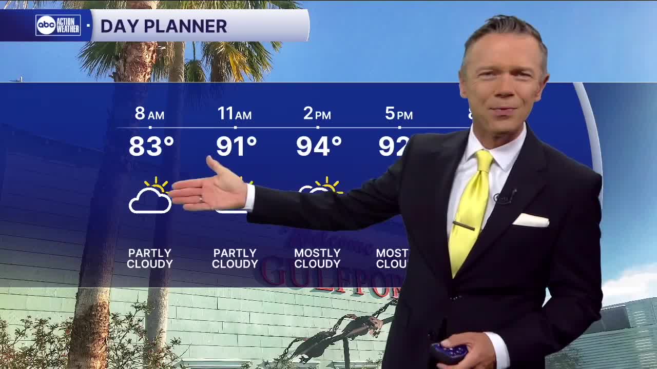
Temperatures this morning will start well above where they should this time of year, with many towns waking up to low 80s and a heat index near 90F. Skies are mostly clear and the day will start with quite a bit of sun. Those sunny skies will push the temperatures into the mid-90s and the heat index to near 110F in some towns. There will be a 30% chance of a PM pop-up downpour this afternoon that will cool some folks off, briefly.
Moisture levels will increase Tuesday and Wednesday. With more moisture we're much more likely to see more widespread showers and storms and more cloud cover too. This will act to keep temperatures a little cooler and provide relief for more folks from the heat during the afternoon. Rain coverage likely will stay between 60-80% Tuesday through Thursday. The rain will not only be possible in the afternoons but really at ANY time during this period, including mornings and nights.
By the end of the week it looks like some drier air will return to the region. This will drop our rain coverage to just 20% or so for Saturday and Sunday. Less rain means more sun and that will bring much hotter temperatures, in the mid-90s.
TROPICS: A weak tropical wave 900 miles east of the islands in the Atlantic has a 20% chance of development over the next 2-3 days. After mid-week, the system is likely to fizzle due to dry air and strong shear.