


Last day of strong east-west flow today.
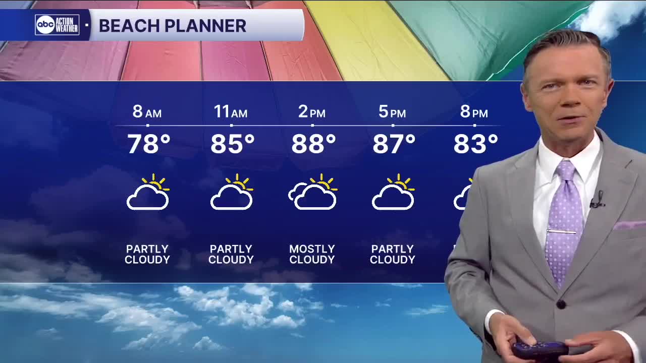
It looks like Wednesday will be very similar to what we saw on Tuesday. Expect a dry, sunny and hot start to the day. Temperatures in the morning will start in the 70s with a few low 80s possible right on the water. Don't expect much rain through 2pm. It'll be sunny, hot and dry with highs in the low 90s.
After 3pm, sct'd rain and storms will develop on the east side of the state. These will make their way west quickly, ending up on our beaches by the early evening. The coverage will generally be similar to what we saw on Tuesday with the strongest and heaviest downpours likely again closer to the coast.
This pattern will change on Thursday as a weak upper-level storm moves over the state. This will stop our off-shore flow and allow for more equal rain coverage across the state Thursday afternoon. Not everyone will see rain on Thursday but the coverage should increase to 60%. We'll also see a lot of clouds as these storms form, leading to temperatures that in some places may only get to the upper 80s.
This wetter pattern only lasts a day. It looks like more hit-and-miss rain return by the weekend with highs in the low 90s.
Models continue to indicate the potential for more clouds and sct'd showers next week, leading to highs only in the upper 80s on some days.
TROPICS: Tropical storm Andrea formed yesterday in the north Atlantic and only lasted 12 hours. The system is now gone and no more tropical development is forecast over the next 7 days.