


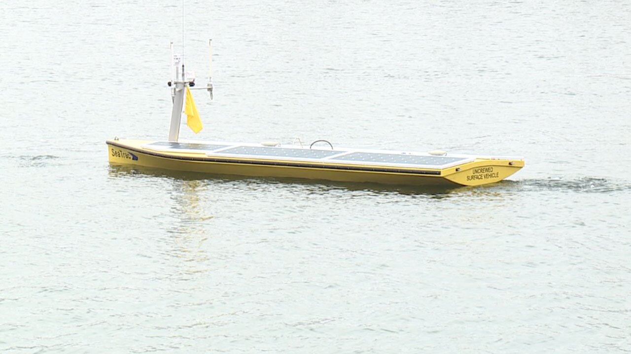
SAINT PETERSBURG, Fla. — Right now, USF scientists are using a remote-controlled boat, along with satellite, lase and sonar technology to get a detailed scan of the bottom of the Gulf coast.
"It matters because coastal resiliency is a top priority for our state. We’re ground zero for the effects of sea-level rise, high tide flooding events, storms, and other environmental hazards," said Tom Frazer, dean of the USF College of Marine Science Biological Oceanography.
The new Center for Ocean Mapping and Innovative Technologies (COMIT) program is using new technology to scan every detail of the ocean’s floor down to a centimeter.
Scientists say knowing exactly what the terrain looks like can help better predict storm surge and where it's safe to build new constructions.
"If we’re going to try to predict where storm surges would be their most critical or most damaging, understanding the height of the topography, which is land-based, and then the depth of the water, putting those together will allow us unprecedented predictions," said Steven Murawski, USF professor and COMIT director.
Murawski says this mapping is critical for boaters, new constructions, maintaining our coast, and our safety.
Right now, is the first mission. The COMIT team is working with NOAA to map the coastal area from John’s Pass down to the bottom of Pinellas County. This first mission should be finished in January.
