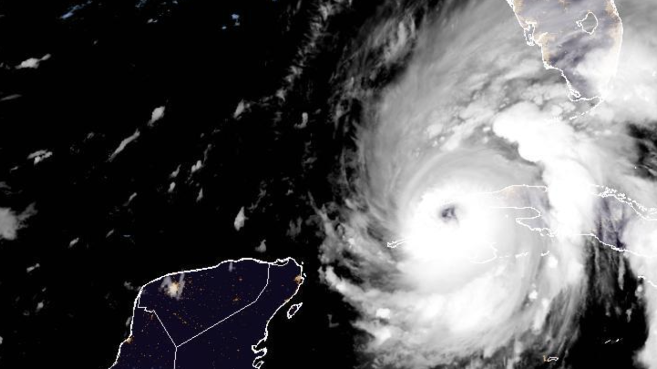
Hurricane Ian entered the Gulf of Mexico as a major hurricane, reaching top sustained winds of 120 mph Tuesday afternoon.
The hurricane’s brief interaction with land prevented it from intensifying temporarily. Ian struck Cuba with top sustained winds of 125 mph early Tuesday.
It is expected to make landfall along Florida's Gulf Coast on Wednesday or Thursday.
Shelters have opened throughout Florida as coastal areas are being evacuated due to potentially high storm surge. Florida Gov. Ron DeSantis said 2.5 million residents are under some sort of evacuation order.
"You do not need to go hundreds of miles away. These counties have shelters available," DeSantis said.
Forecasters warn the storm could dump 12-16 inches of rain in parts of Florida. The National Hurricane Center is also warning of up to 8-12 feet of storm surge for the area, an increase from previous storm surge forecasts.
“When you have 5 to 10 feet of storm surge, that’s not something that you want to be a part of," DeSantis said.
While the National Hurricane Center's forecast originally called for the storm to make a direct landfall near the Tampa area, DeSantis said the forecast now takes the storm closer to Sarasota.
Despite the revised path, officials urged those in the Tampa area who evacuated to stay away as the storm's potential direct path could still change.
DeSantis said tolls are suspended and certain other regulations were lifted.
After it slowly comes ashore Wednesday or Thursday, the National Hurricane Center said Ian could eventually end up bringing heavy rain to inland regions of Florida before impacting Georgia and the Carolinas.


