
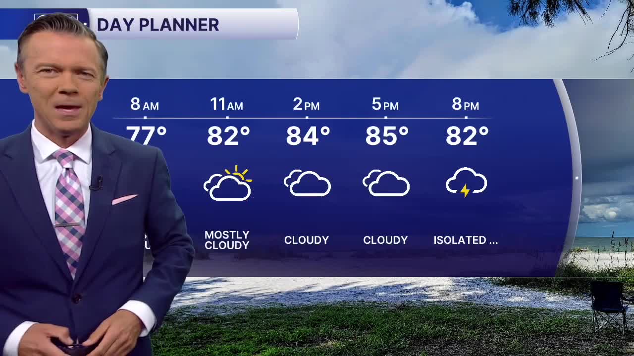


We'll see sct'd showers and storms around today. Highs will reach the mid and upper 80s with the heaviest rain most likely south of the I-4 corridor. A few thunderstorms are possible too. It will not rain all day with plenty of dry weather in-between the downpours. Areas north of I-4 are likely to get very little rain today.
The rain today is being caused by a weak front which will basically sit over central Florida over the next couple of days. This will make it possible for rain to pop-up just about anytime through Thursday.
Sct'd storms are likely to return on Tuesday. A broad area of low pressure may develop during the day on Wednesday near Florida. This could bring some of the highest rain coverage of the week.
The front will finally begin to weaken by Thursday. This will bring back a more typical weather pattern of partly sunny skies, heat, humidity and afternoon pop-ups. Highs will return to the 90s by the weekend.